
Topografische kaart SIC Fiume Marta (alto corso)
Interactieve kaart
Klik op de kaart om de hoogte weer te geven.
Over deze kaart
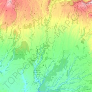
Naam: Topografische kaart SIC Fiume Marta (alto corso), hoogte, reliëf.
Locatie: SIC Fiume Marta (alto corso), Tuscania, Viterbo, Lazio, Italia (42.36008 11.87482 42.53462 11.93314)
Gemiddelde hoogte: 243 m
Minimale hoogte: 74 m
Maximale hoogte: 573 m