
Topografische kaart Rural Municipality of Portage la Prairie
Interactieve kaart
Klik op de kaart om de hoogte weer te geven.
Over deze kaart
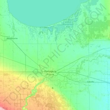
Naam: Topografische kaart Rural Municipality of Portage la Prairie, hoogte, reliëf.
Gemiddelde hoogte: 258 m
Minimale hoogte: 241 m
Maximale hoogte: 341 m