
Topografische kaart Dells of the Wisconsin River State Natural Area
Interactieve kaart
Klik op de kaart om de hoogte weer te geven.
Over deze kaart
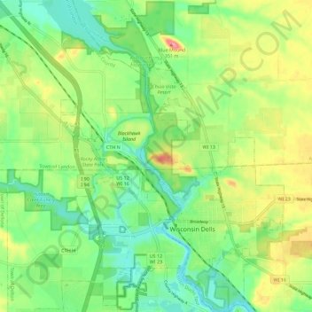
Naam: Topografische kaart Dells of the Wisconsin River State Natural Area, hoogte, reliëf.
Gemiddelde hoogte: 282 m
Minimale hoogte: 244 m
Maximale hoogte: 343 m