
Topografische kaart Prescott Valley
Interactieve kaart
Klik op de kaart om de hoogte weer te geven.
Prescott Valley
Prescott Valley (locally, PV) is located in central Arizona approximately 85 miles (137 km) north of Phoenix at 5,100 feet (1,600 m). elevation. PV has good access to Arizona State Route 89, SR-89A and SR-69, connecting to Interstates 17 and 40. Air service is available at Ernest A. Love Field, about 8 miles (13 km) northwest.
Over deze kaart
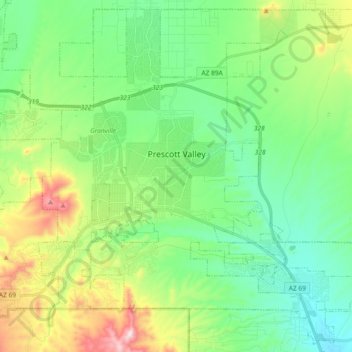
Naam: Topografische kaart Prescott Valley, hoogte, reliëf.
Gemiddelde hoogte: 1.550 m
Minimale hoogte: 1.378 m
Maximale hoogte: 1.972 m