
Topografische kaart Old Kilcullen
Interactieve kaart
Klik op de kaart om de hoogte weer te geven.
Over deze kaart
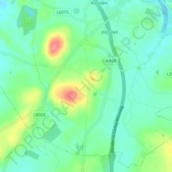
Naam: Topografische kaart Old Kilcullen, hoogte, reliëf.
Gemiddelde hoogte: 125 m
Minimale hoogte: 104 m
Maximale hoogte: 181 m
Andere topografische kaarten
Klik op een kaart om zijn topografie, zijn hoogte en zijn reliëf te bekijken.
Kilcullen Round Tower
Ireland > County Kildare > Old Kilcullen
Kilcullen Round Tower, L6079, Old Kilcullen, Kilcullen ED, The Municipal District of Kildare — Newbridge, County Kildare, Leinster, R56 TP98, Ireland
Gemiddelde hoogte: 127 m