
Topografische kaart Kawardha
Interactieve kaart
Klik op de kaart om de hoogte weer te geven.
Kawardha
Kawardha is located at 22°01′N 81°15′E / 22.02°N 81.25°E / 22.02; 81.25. The total area is 798 square miles (2,070 km2). The state consists of hills and forests. It has an average elevation of 353 metres (1,158 ft).
Over deze kaart
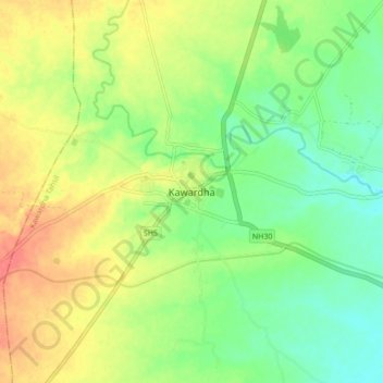
Naam: Topografische kaart Kawardha, hoogte, reliëf.
Gemiddelde hoogte: 350 m
Minimale hoogte: 325 m
Maximale hoogte: 380 m