
Topografische kaart Braidwood
Interactieve kaart
Klik op de kaart om de hoogte weer te geven.
Over deze kaart
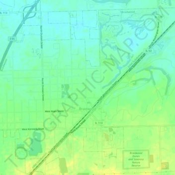
Naam: Topografische kaart Braidwood, hoogte, reliëf.
Locatie: Braidwood, Will County, Illinois, 60408, United States (41.24865 -88.24653 41.29182 -88.18942)
Gemiddelde hoogte: 175 m
Minimale hoogte: 165 m
Maximale hoogte: 187 m
Andere topografische kaarten
Klik op een kaart om zijn topografie, zijn hoogte en zijn reliëf te bekijken.
New Lenox
United States > Illinois > Will County
New Lenox, Will County, Illinois, 60451, United States
Gemiddelde hoogte: 209 m
Will County
United States > Illinois > Will County
Will County, Illinois, United States
Gemiddelde hoogte: 199 m
Lockport
United States > Illinois > Will County
Lockport, Will County, Illinois, United States
Gemiddelde hoogte: 198 m
Elwood
United States > Illinois > Will County
Elwood, Will County, Illinois, United States
Gemiddelde hoogte: 189 m