
Topografische kaart Cairo
Interactieve kaart
Klik op de kaart om de hoogte weer te geven.
Over deze kaart
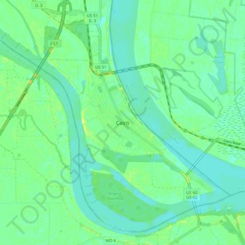
Naam: Topografische kaart Cairo, hoogte, reliëf.
Locatie: Cairo, Alexander County, Illinois, 62914, United States (36.96580 -89.21724 37.04580 -89.13724)
Gemiddelde hoogte: 95 m
Minimale hoogte: 88 m
Maximale hoogte: 107 m
The city is located at the confluence of the Ohio and Mississippi rivers. Fort Defiance, a Civil War camp, was built here in 1862 by Union General Ulysses S. Grant to control strategic access to the rivers, and launch and supply his successful campaigns south. Cairo has the lowest elevation of any location in Illinois and is the only Illinois city to be surrounded by levees. It is in the area of Southern Illinois known as Little Egypt.