
Topografische kaart Carlos Pfannl
Interactieve kaart
Klik op de kaart om de hoogte weer te geven.
Over deze kaart
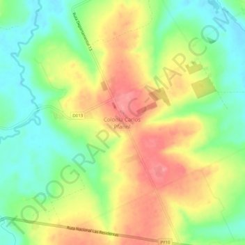
Naam: Topografische kaart Carlos Pfannl, hoogte, reliëf.
Locatie: Carlos Pfannl, Guairá, Región Oriental, Paraguay (-25.72191 -56.13762 -25.67719 -56.11207)
Gemiddelde hoogte: 191 m
Minimale hoogte: 150 m
Maximale hoogte: 237 m