
Topografische kaart Parque Natural do Sudoeste Alentejano e Costa Vicentina
Interactieve kaart
Klik op de kaart om de hoogte weer te geven.
Over deze kaart
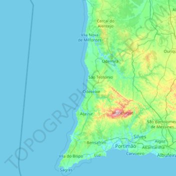
Naam: Topografische kaart Parque Natural do Sudoeste Alentejano e Costa Vicentina, hoogte, reliëf.
Gemiddelde hoogte: 67 m
Minimale hoogte: -3 m
Maximale hoogte: 894 m