
Topografische kaart West Tiger Mountain Natural Resource Conservation Area
Interactieve kaart
Klik op de kaart om de hoogte weer te geven.
Over deze kaart
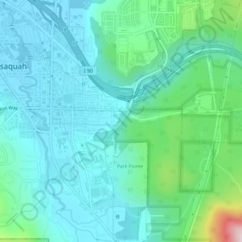
Naam: Topografische kaart West Tiger Mountain Natural Resource Conservation Area, hoogte, reliëf.
Gemiddelde hoogte: 101 m
Minimale hoogte: 19 m
Maximale hoogte: 455 m
Andere topografische kaarten
Klik op een kaart om zijn topografie, zijn hoogte en zijn reliëf te bekijken.
Lake Sammamish
United States > Washington > King County > Issaquah
Lake Sammamish, Issaquah, King County, Washington, United States
Gemiddelde hoogte: 88 m
Grand View Park
United States > Washington > King County > Issaquah
Grand View Park, Kirk Park, Issaquah, King County, Washington, 98029, United States
Gemiddelde hoogte: 202 m