

Topografische kaart Box Hill
Klik op de kaart om de hoogte weer te geven.
Box Hill
The 15.8 km (9.8 mi) Box Hill Olympic circuit is generally cycled in an anticlockwise direction and begins to the south of the village of Mickleham with an ascent of the hill via the Zig Zag Road. From the National Trust Visitor Centre, the route turns eastwards, running along the escarpment and through the urban area of Box Hill village, reaching a maximum elevation of 216 metres (709 ft) above Ordnance Datum. After 6.6 kilometres (4.1 mi) the route turns northwest along the B2033, passing through the village of Headley. After 9.5 kilometres (5.9 mi), the circuit begins a continuous descent to the valley of the River Mole, passing to the south of Leatherhead, before turning southwards again through Mickleham to return to the start.
Over deze kaart
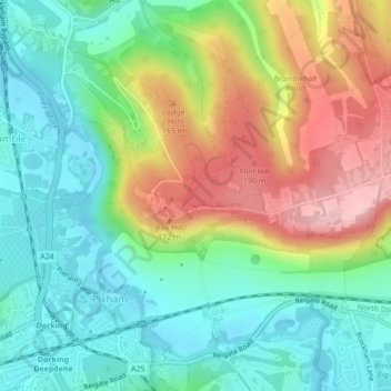
Naam: Topografische kaart Box Hill, hoogte, reliëf.
Gemiddelde hoogte: 105 m
Minimale hoogte: 38 m
Maximale hoogte: 219 m