
Topografische kaart Tanggula Mountains
Interactieve kaart
Klik op de kaart om de hoogte weer te geven.
Tanggula Mountains
The elevations of the main ridge average more than 5,000 m (16,404 ft). The Yangtze River originates in this mountain range; Geladandong, 6,621 metres or 21,722 feet high, located in Tanggula Town, is the tallest peak in the range.
Over deze kaart
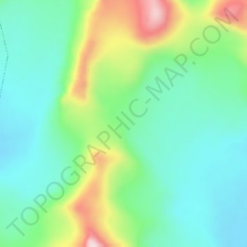
Naam: Topografische kaart Tanggula Mountains, hoogte, reliëf.
Gemiddelde hoogte: 5.912 m
Minimale hoogte: 5.811 m
Maximale hoogte: 6.149 m