
Topografische kaart San Pedro Alcantara
Interactieve kaart
Klik op de kaart om de hoogte weer te geven.
Over deze kaart
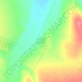
Naam: Topografische kaart San Pedro Alcantara, hoogte, reliëf.
Locatie: San Pedro Alcantara, Vicente Guerrero, Durango, Mexico (23.65110 -104.04812 23.69110 -104.00812)
Gemiddelde hoogte: 1.969 m
Minimale hoogte: 1.932 m
Maximale hoogte: 2.014 m