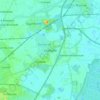
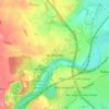
Topografische kaart Tickhill
Klik op de kaart om de hoogte weer te geven.
Tickhill
It lies eight miles south of Doncaster, between Maltby and Harworth, on the busy conjunction of the A631 and A60 roads, and adjacent to the A1(M) motorway. It is located at 53° 26' North, 1° 6' 40" West, at an elevation of around 20 metres above sea level. The River Torne passes close to the south-east of the town where it is the boundary between South Yorkshire and Nottinghamshire, eventually meeting the River Trent.
Over deze kaart
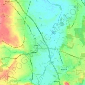
Naam: Topografische kaart Tickhill, hoogte, reliëf.
Locatie: Tickhill, Doncaster, South Yorkshire, England, United Kingdom (53.40574 -1.15179 53.46823 -1.05201)
Gemiddelde hoogte: 28 m
Minimale hoogte: 3 m
Maximale hoogte: 76 m
Andere topografische kaarten
Klik op een kaart om zijn topografie, zijn hoogte en zijn reliëf te bekijken.