
Topografische kaart Sircilla
Interactieve kaart
Klik op de kaart om de hoogte weer te geven.
Sircilla
The town is located at 18°23′N 78°50′E / 18.38°N 78.83°E / 18.38; 78.83. It has an average elevation of 322 metres (1056 feet). By road, it is located 120 km north of Secunderabad, 40 km west of Karimnagar, 30 km north of Siddipet and 56 km east of Kamareddy. It is 10 km away from the famous Vemulawada temple.
Over deze kaart
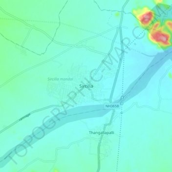
Naam: Topografische kaart Sircilla, hoogte, reliëf.
Gemiddelde hoogte: 338 m
Minimale hoogte: 312 m
Maximale hoogte: 511 m