
Topografische kaart Boone Island (historical)
Interactieve kaart
Klik op de kaart om de hoogte weer te geven.
Over deze kaart
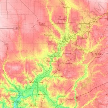
Naam: Topografische kaart Boone Island (historical), hoogte, reliëf.
Gemiddelde hoogte: 276 m
Minimale hoogte: 168 m
Maximale hoogte: 354 m