
Topografische kaart Island
Interactieve kaart
Klik op de kaart om de hoogte weer te geven.
Island
Artificial islands are sometimes built on pre-existing "low-tide elevation," a naturally formed area of land which is surrounded by and above water at low tide but submerged at high tide. Legally these are not islands and have no territorial sea of their own.
Over deze kaart
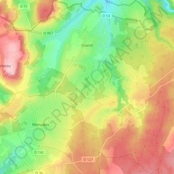
Naam: Topografische kaart Island, hoogte, reliëf.
Gemiddelde hoogte: 255 m
Minimale hoogte: 168 m
Maximale hoogte: 344 m