
Topografische kaart Oconee
Interactieve kaart
Klik op de kaart om de hoogte weer te geven.
Over deze kaart
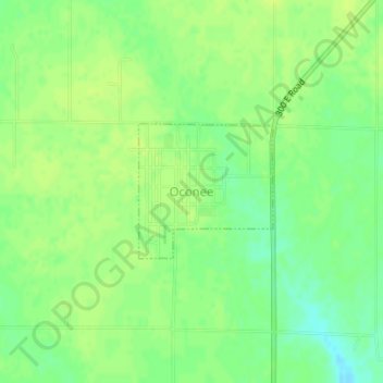
Naam: Topografische kaart Oconee, hoogte, reliëf.
Locatie: Oconee, Shelby County, Illinois, United States (39.28084 -89.11240 39.29038 -89.10013)
Gemiddelde hoogte: 206 m
Minimale hoogte: 195 m
Maximale hoogte: 212 m