Topografische kaart Niagara River
Klik op de kaart om de hoogte weer te geven.
Niagara River
The river, occasionally described as a strait, is approximately 58 kilometres (36 mi) long and includes Niagara Falls. Over the past 12,000 years, the falls have moved roughly 11 kilometres (6.8 mi) upstream from the leading edge of the Niagara Escarpment, creating a gorge below the falls. Today, the diversion of the river for electricity generation has significantly slowed the rate of erosion. The total elevation drop along the river is 99 metres (325 ft). The Niagara Gorge, downstream from the falls, includes the Niagara Whirlpool and additional rapids.
Over deze kaart
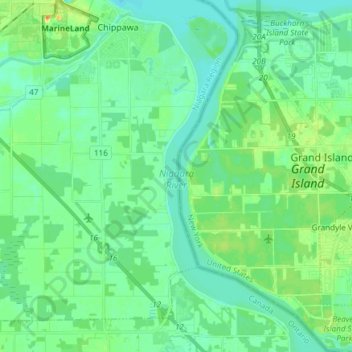
Naam: Topografische kaart Niagara River, hoogte, reliëf.
Gemiddelde hoogte: 177 m
Minimale hoogte: 168 m
Maximale hoogte: 200 m
Andere topografische kaarten
Klik op een kaart om zijn topografie, zijn hoogte en zijn reliëf te bekijken.