
Topografische kaart Hangatiki
Interactieve kaart
Klik op de kaart om de hoogte weer te geven.
Over deze kaart
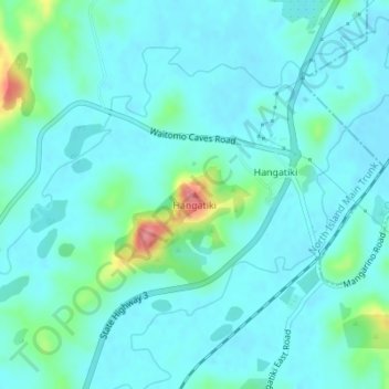
Naam: Topografische kaart Hangatiki, hoogte, reliëf.
Locatie: Hangatiki, Waitomo District, Waikato, 3977, New Zealand (-38.25511 175.17211 -38.25501 175.17221)
Gemiddelde hoogte: 54 m
Minimale hoogte: 37 m
Maximale hoogte: 139 m
Andere topografische kaarten
Klik op een kaart om zijn topografie, zijn hoogte en zijn reliëf te bekijken.
King Country
New Zealand > Waikato > Waitomo District
King Country, Waitomo District, Waikato, New Zealand
Gemiddelde hoogte: 296 m
Awakino
New Zealand > Waikato > Waitomo District
Awakino, Waitomo District, Waikato, New Zealand
Gemiddelde hoogte: 37 m
Te Kuiti
New Zealand > Waikato > Waitomo District
Te Kuiti, Waitomo District, Waikato, 3910, New Zealand
Gemiddelde hoogte: 130 m
Marokopa River
New Zealand > Waikato > Waitomo District
Marokopa River, Waitomo District, Waikato, New Zealand
Gemiddelde hoogte: 216 m