Geolokaliseren

Topografische kaart Kensington

Interactieve kaart

Klik op de kaart om de hoogte weer te geven.

Over deze kaart

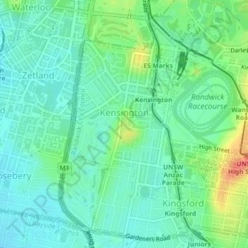
Naam: Topografische kaart Kensington, hoogte, reliëf.

Locatie: Kensington, Sydney, Randwick City Council, 2033, Australia (-33.92459 151.21114 -33.90145 151.23653)

Gemiddelde hoogte: 31 m

Minimale hoogte: 14 m

Maximale hoogte: 71 m

Andere topografische kaarten

Klik op een kaart om zijn topografie, zijn hoogte en zijn reliëf te bekijken.

Dee Why

Australia > Sydney

Dee Why, Northern Beaches, Sydney, Northern Beaches Council, 2099, Australia

Gemiddelde hoogte: 27 m

Abbotsbury

Australia > Sydney

Abbotsbury, Sydney, Fairfield City Council, 2176, Australia

Gemiddelde hoogte: 79 m

Lane Cove

Australia > Sydney

Lane Cove, Lower North Shore, Sydney, Lane Cove Municipal Council, 2066, Australia

Gemiddelde hoogte: 52 m

Gymea

Australia > Sydney

Gymea, Sydney, Sutherland Shire Council, 2227, Australia

Gemiddelde hoogte: 58 m