
Topografische kaart Villasanta
Interactieve kaart
Klik op de kaart om de hoogte weer te geven.
Over deze kaart
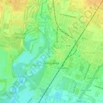
Naam: Topografische kaart Villasanta, hoogte, reliëf.
Locatie: Villasanta, MB, LOM, 20852, Itália (45.59279 9.29540 45.62169 9.32554)
Gemiddelde hoogte: 177 m
Minimale hoogte: 163 m
Maximale hoogte: 192 m