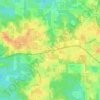
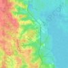
Topografische kaart Pensacola
Klik op de kaart om de hoogte weer te geven.
Pensacola
The land is sloped up northward from Pensacola Bay, with most of the city at an elevation above that which a potential hurricane storm surge could affect.
Over deze kaart
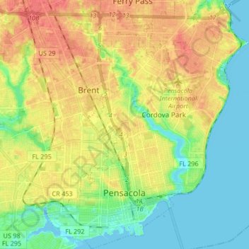
Naam: Topografische kaart Pensacola, hoogte, reliëf.
Locatie: Pensacola, Escambia County, Florida, United States (30.39554 -87.25889 30.51049 -87.14972)
Gemiddelde hoogte: 21 m
Minimale hoogte: -3 m
Maximale hoogte: 46 m
Andere topografische kaarten
Klik op een kaart om zijn topografie, zijn hoogte en zijn reliëf te bekijken.