
Topografische kaart Baldoyle
Interactieve kaart
Klik op de kaart om de hoogte weer te geven.
Over deze kaart
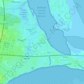
Naam: Topografische kaart Baldoyle, hoogte, reliëf.
Gemiddelde hoogte: 2 m
Minimale hoogte: -2 m
Maximale hoogte: 10 m
A description of Baldoyle from Lewis's Topographical Dictionary of Ireland (Dublin, 1837) gives a useful summary of what was then a substantial rural fishing village: