
Topografische kaart North European Plain
Interactieve kaart
Klik op de kaart om de hoogte weer te geven.
Over deze kaart
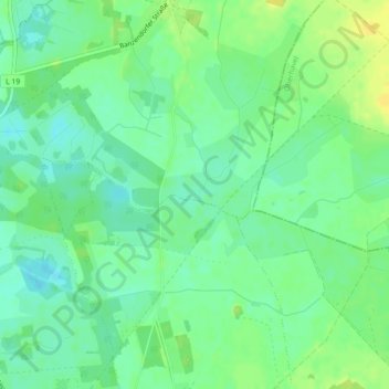
Naam: Topografische kaart North European Plain, hoogte, reliëf.
Gemiddelde hoogte: 54 m
Minimale hoogte: 44 m
Maximale hoogte: 65 m
Elevations vary between 0 and 200 m (0 to about 650 ft). While mostly used as farmland, the region also contains bogs, heath and lakes. The Wadden Sea, a large tidal area, is located on the North Sea coast.