
Topografische kaart Payyanur
Interactieve kaart
Klik op de kaart om de hoogte weer te geven.
Over deze kaart
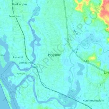
Naam: Topografische kaart Payyanur, hoogte, reliëf.
Gemiddelde hoogte: 8 m
Minimale hoogte: -2 m
Maximale hoogte: 66 m
Payyannur is located at coordinates 12°06′N 75°12′E / 12.1°N 75.2°E / 12.1; 75.2. It has an average elevation of 16 metres (51 feet).