
Topografische kaart Honey Springs Battlefield
Interactieve kaart
Klik op de kaart om de hoogte weer te geven.
Over deze kaart
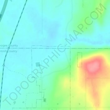
Naam: Topografische kaart Honey Springs Battlefield, hoogte, reliëf.
Gemiddelde hoogte: 185 m
Minimale hoogte: 163 m
Maximale hoogte: 250 m