
Topografische kaart Chas
Interactieve kaart
Klik op de kaart om de hoogte weer te geven.
Chas
Chas is located at 23°38′N 86°10′E / 23.63°N 86.17°E / 23.63; 86.17. It has an average elevation of 210 metres (688 feet). The municipality is situated on the banks of Garga river. Chas is located at the junction of National Highway 23 and National Highway 32. The Dhanbad-Bokaro-Ranchi Expressway also passes through it.
Over deze kaart
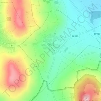
Naam: Topografische kaart Chas, hoogte, reliëf.
Gemiddelde hoogte: 413 m
Minimale hoogte: 323 m
Maximale hoogte: 551 m