
Topografische kaart Gallina
Interactieve kaart
Klik op de kaart om de hoogte weer te geven.
Over deze kaart
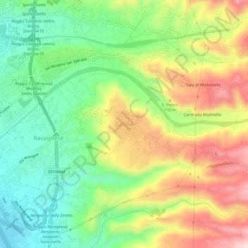
Naam: Topografische kaart Gallina, hoogte, reliëf.
Locatie: Gallina, RC, Calabria, 89131, Italy (38.06645 15.65823 38.10645 15.69823)
Gemiddelde hoogte: 155 m
Minimale hoogte: 5 m
Maximale hoogte: 360 m