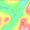
Topografische kaart Omak
Klik op de kaart om de hoogte weer te geven.
Omak
Elevations around the area range from 780 feet (240 m) above sea level at the mouth of the Okanogan River to 6,774 feet (2,065 m) above sea level at the Moses Mountain. The average elevation is 843 feet (257 m) above sea level according to the United States Geological Survey (USGS). The Moses Mountain, with a summit, sits east of the city, while Little Moses Mountain, located 5,963 feet (1,818 m) above sea level, and Omak Mountain, located 5,749 feet (1,752 m) above sea level, are adjacent to the Moses Mountain. West of the city are the North Cascades, anchored by the Cascade Range. Mountain peaks on the western portion of the Omak area range between 6,000 feet (1,800 m) and 8,000 feet (2,400 m). The Coleman Butte mountain summit—1,450 feet (440 m) above sea level—is located directly adjacent to municipal boundaries.
Over deze kaart
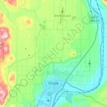
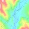
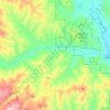
Naam: Topografische kaart Omak, hoogte, reliëf.
Locatie: Omak, Okanogan County, Washington, 98841, United States (48.39207 -119.55500 48.47666 -119.48419)
Gemiddelde hoogte: 364 m
Minimale hoogte: 249 m
Maximale hoogte: 658 m
Andere topografische kaarten
Klik op een kaart om zijn topografie, zijn hoogte en zijn reliëf te bekijken.

Goat Peak
United States > Washington > Okanogan County
Goat Peak is a 7,001-foot (2,134 m) peak in the North Cascades of Washington, United States. The summit offers broad views of the Methow River valley, as well as many of the other prominent cascade peaks including glaciated Silver Star Mountain. A working US Forest Service fire lookout is located on the…
Gemiddelde hoogte: 1.658 m