
Topografische kaart Bhandro
Interactieve kaart
Klik op de kaart om de hoogte weer te geven.
Over deze kaart
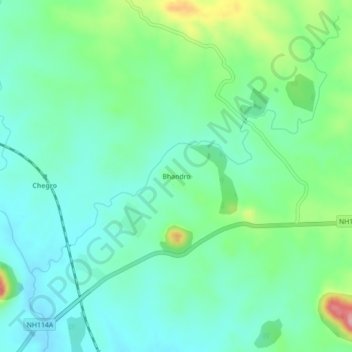
Naam: Topografische kaart Bhandro, hoogte, reliëf.
Locatie: Bhandro, Dumri, Giridih District, Jharkhand, 825167, India (24.00265 86.02054 24.04265 86.06054)
Gemiddelde hoogte: 313 m
Minimale hoogte: 274 m
Maximale hoogte: 423 m
Andere topografische kaarten
Klik op een kaart om zijn topografie, zijn hoogte en zijn reliëf te bekijken.