
Topografische kaart Bātto
Interactieve kaart
Klik op de kaart om de hoogte weer te geven.
Over deze kaart
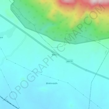
Naam: Topografische kaart Bātto, hoogte, reliëf.
Locatie: Bātto, Dumri, Giridih District, Jharkhand, India (23.91069 86.09259 23.95069 86.13259)
Gemiddelde hoogte: 335 m
Minimale hoogte: 240 m
Maximale hoogte: 768 m
Andere topografische kaarten
Klik op een kaart om zijn topografie, zijn hoogte en zijn reliëf te bekijken.