
Topografische kaart Winlock
Klik op de kaart om de hoogte weer te geven.
Winlock
The eastern edge of the Willapa Hills lie to the west. To the east are relatively flat prairies. A notable landmark about four miles west of town is Sam Henry Mountain, elevation 1,492 feet (455 m), named for an early section superintendent of the Northern Pacific Railroad. Mt. St. Helens, about forty miles (64.4 km) to the east can be seen from viewpoints around the area. In May 1980, Winlock was covered with about one inch (2.54 cm) of volcanic ash from the second major eruption of this peak one week after the cataclysmic eruption of May 18.
Over deze kaart
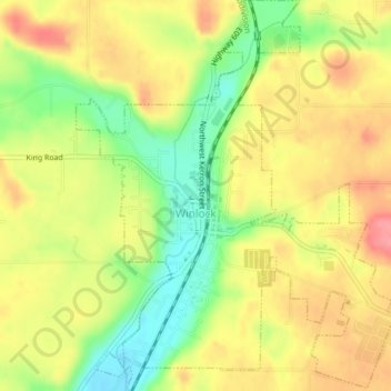
Naam: Topografische kaart Winlock, hoogte, reliëf.
Locatie: Winlock, Lewis County, Washington, United States (46.48013 -122.95086 46.50712 -122.91892)
Gemiddelde hoogte: 124 m
Minimale hoogte: 78 m
Maximale hoogte: 162 m
Andere topografische kaarten
Klik op een kaart om zijn topografie, zijn hoogte en zijn reliëf te bekijken.