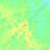
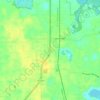
Topografische kaart Ocala
Klik op de kaart om de hoogte weer te geven.
Ocala
Ocala features a varied terrain of rolling hills, gently undulating plains, and rich limestone formations typical of north-central Florida. The area rests at an elevation that generally ranges from around 50 to 150 feet above sea level, with pockets of higher ground providing scenic overlooks and natural drainage patterns that feed into local springs and wetlands. The proximity to the Ocala National Forest adds a forested, rugged character with areas of dense pine, cypress swamps, and expansive lakes, enhancing Ocala's diverse and scenic topography.
Over deze kaart
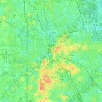
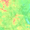
Naam: Topografische kaart Ocala, hoogte, reliëf.
Locatie: Ocala, Marion County, Florida, United States (29.12091 -82.25179 29.23373 -82.06200)
Gemiddelde hoogte: 28 m
Minimale hoogte: 13 m
Maximale hoogte: 63 m
Andere topografische kaarten
Klik op een kaart om zijn topografie, zijn hoogte en zijn reliëf te bekijken.